


Les Rochers des Hirschsteine - Lac Vert

Michel1963
User GUIDE
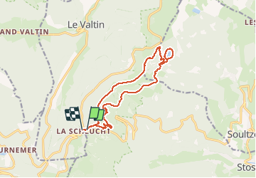

Length
14.4 km

Max alt
1281 m

Uphill gradient
576 m
Km-Effort
22 km

Min alt
1049 m

Downhill gradient
599 m
Boucle
Yes
Creation date :
2020-07-21 08:57:29.861
Updated on :
2020-07-21 16:01:39.292
5h02
Difficulty : Difficult

FREE GPS app for hiking
 SityTrail
IGN / Geographical institutes
SityTrail Plus
The world is yours!
About
Trail Walking of 14.4 km to be discovered at Grand Est, Vosges, Le Valtin. This trail is proposed by Michel1963.
Description
Splendide parcours aérien vers les Rochers d'où le qualificatif difficile sinon randonnée de difficulté moyenne
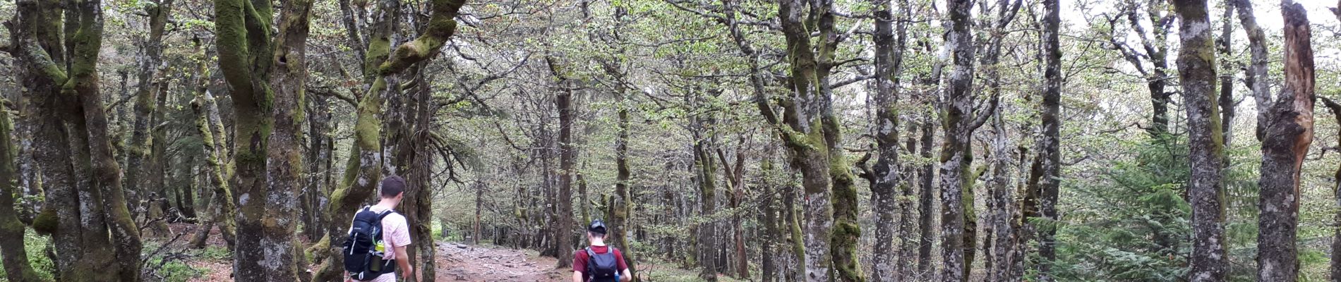
Photos


Positioning
Country:
France
Region :
Grand Est
Department/Province :
Vosges
Municipality :
Le Valtin
Location:
Unknown
Start:(Dec)
Start:(UTM)
352801 ; 5325333 (32U) N.
Comments
génial